Urban Continuum
Real Estate and Water between Mexico City and Valle de Bravo
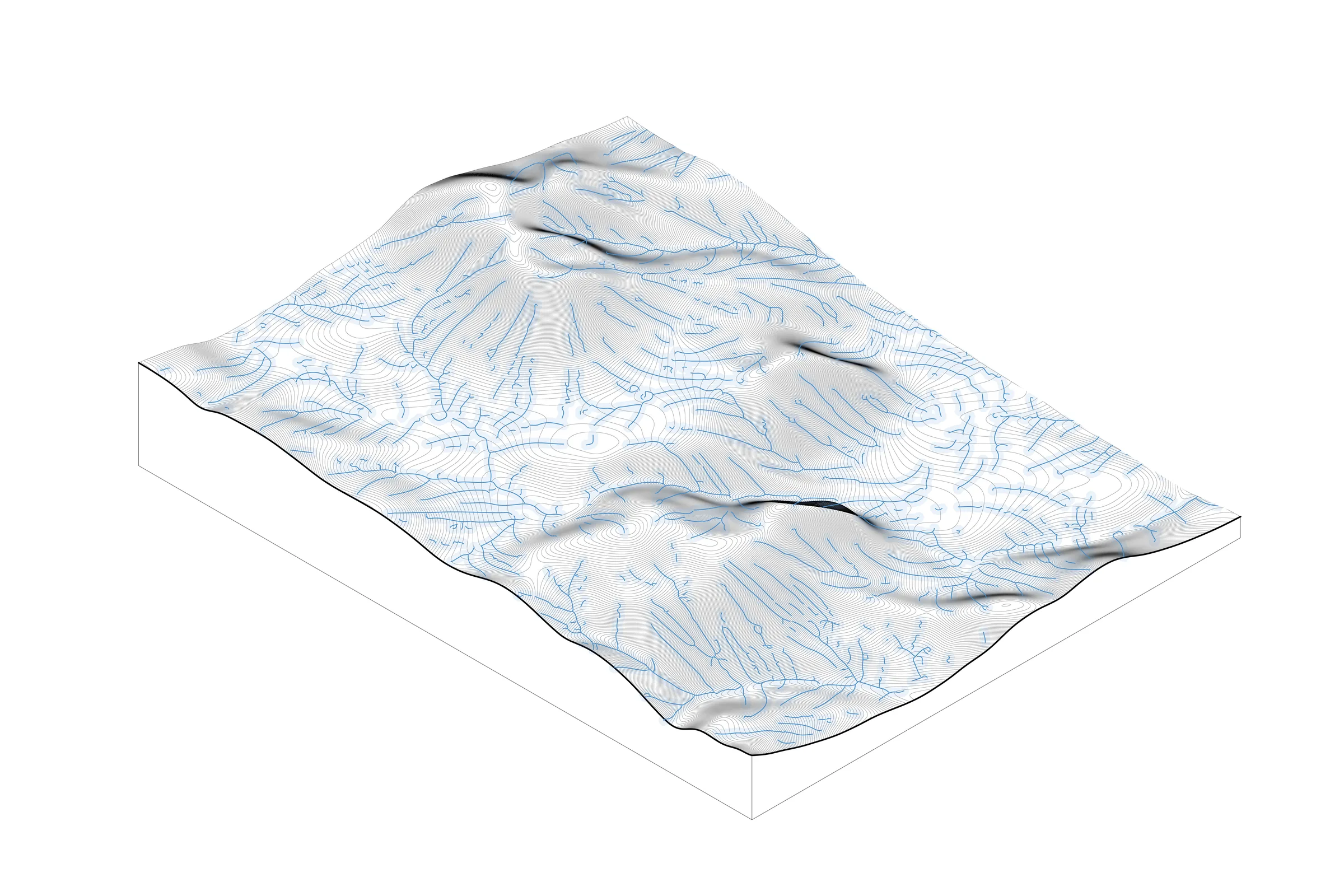
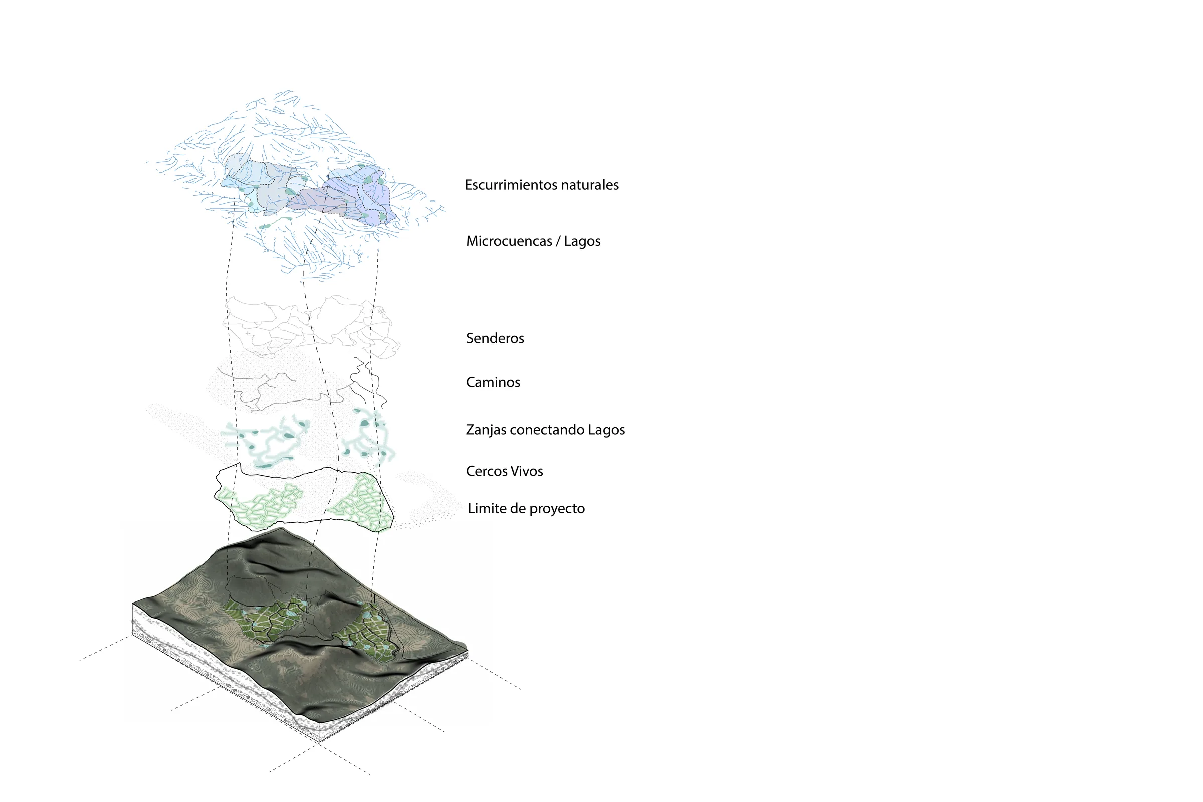
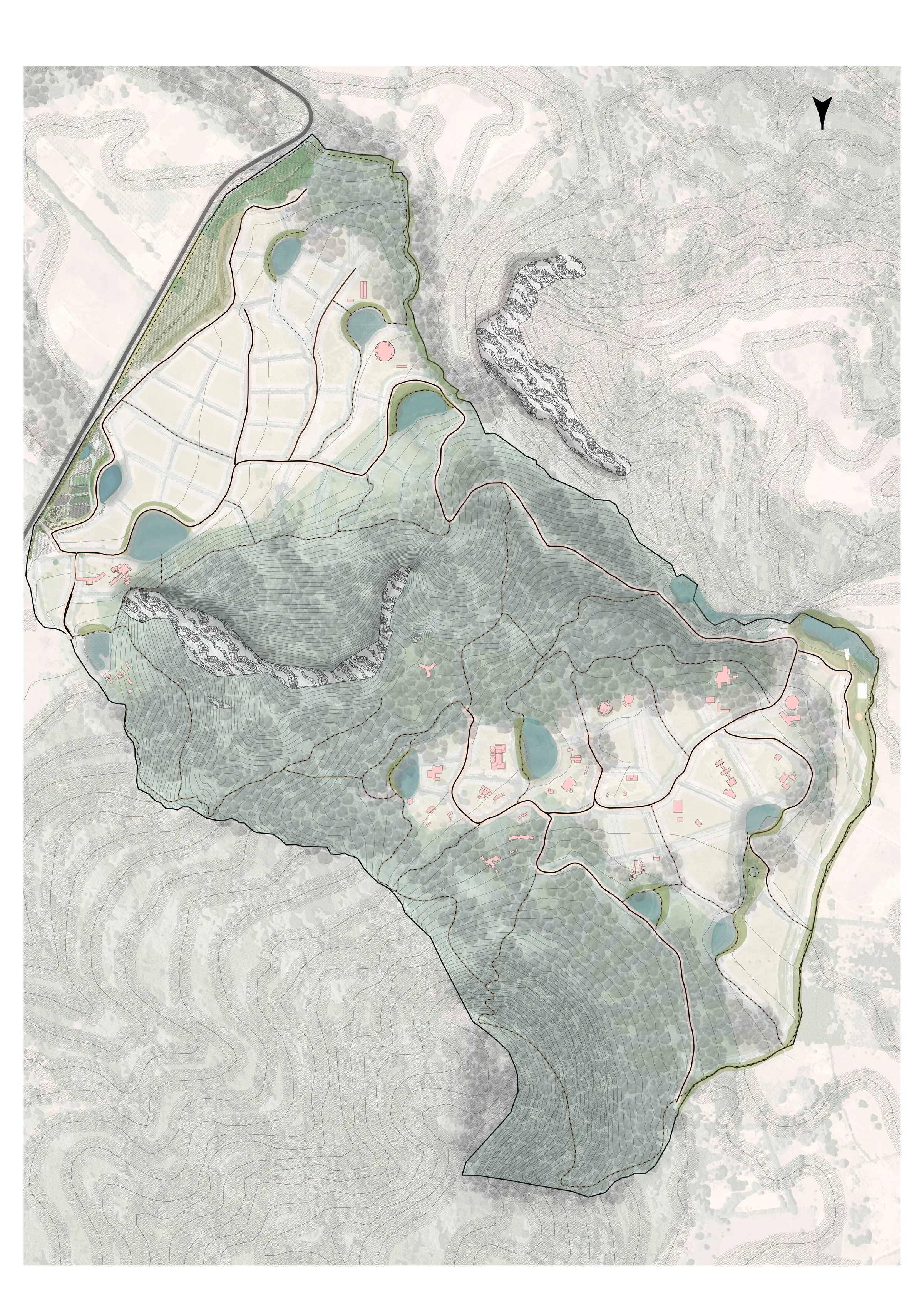
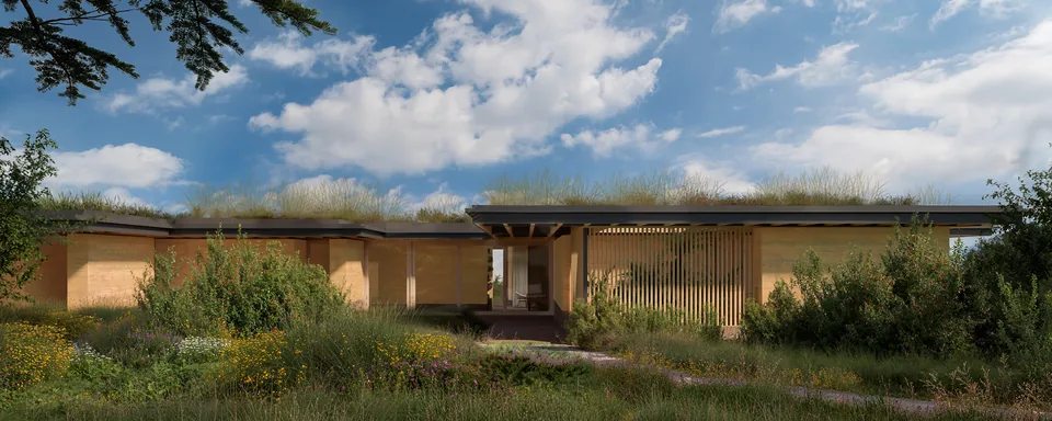
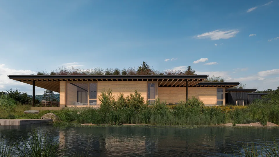
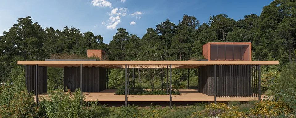
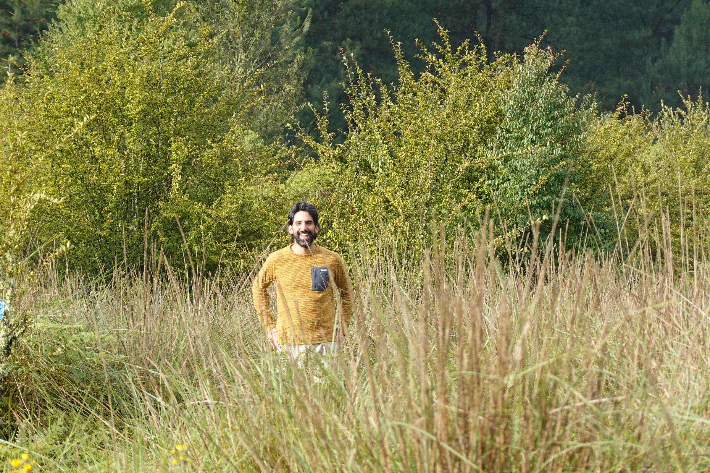
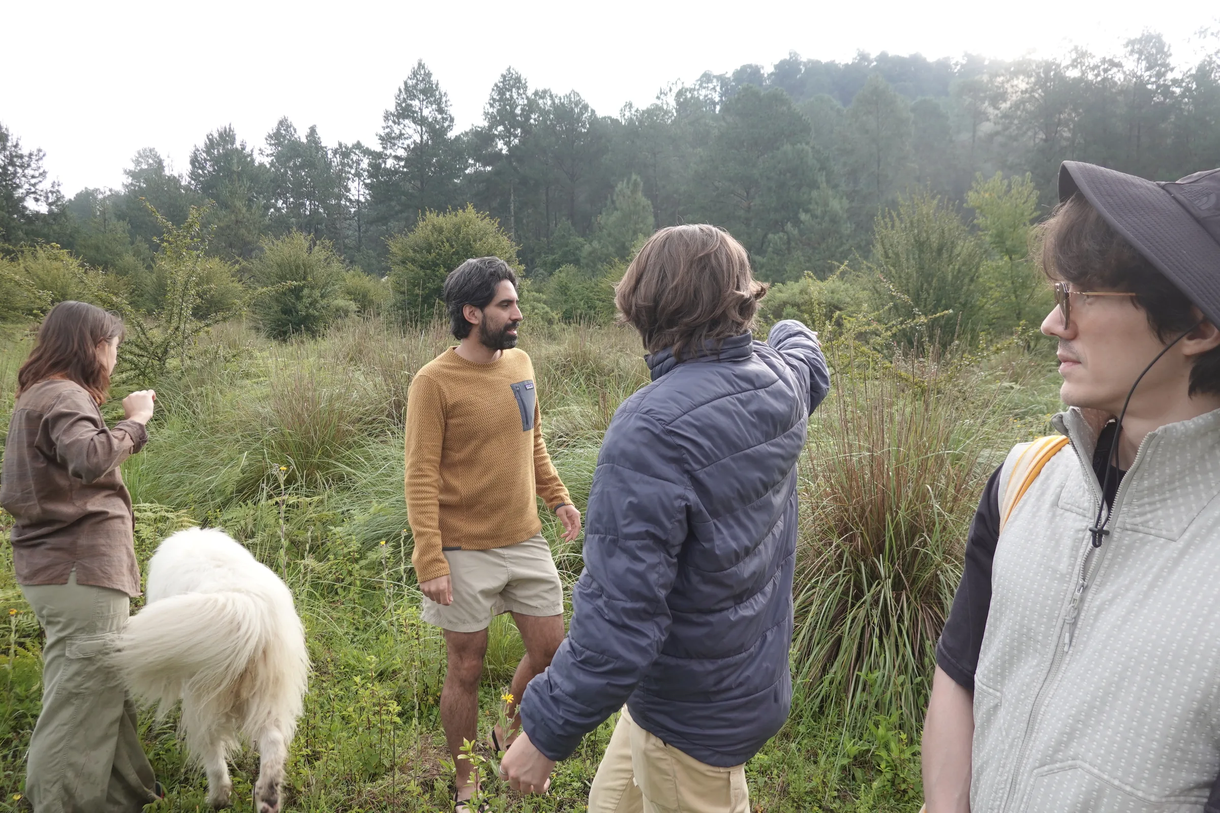
Tepetl is researching the environmental history of Valle de Bravo, analyzing and visualizing information to work with developers and generate a shared notion of place. The application of this research is a series of design guidelines and criteria for landscape-driven and site-sensitive real estate projects.
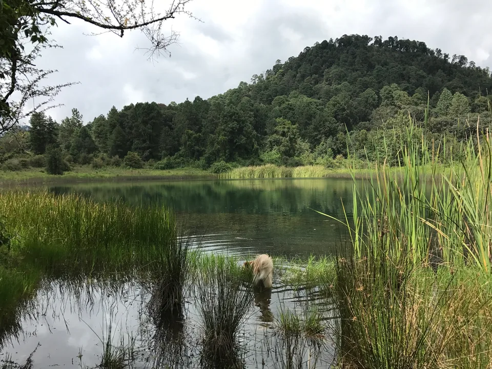
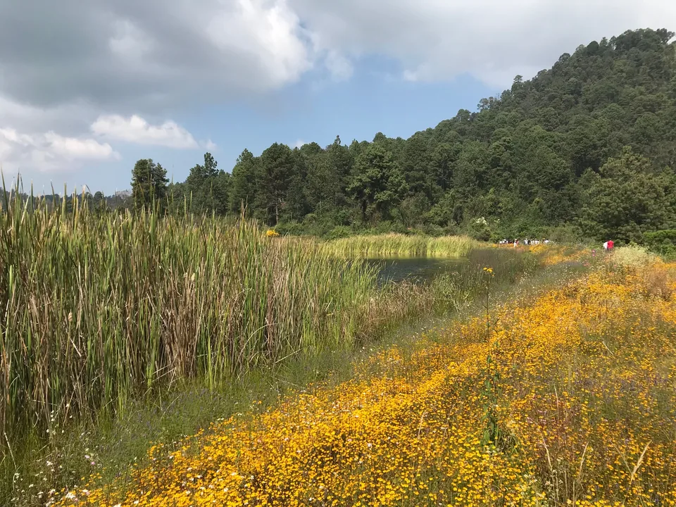
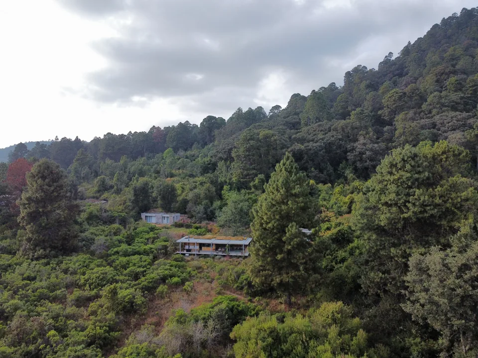
Valle de Bravo has close ties to Mexico City due to its strategic water infrastructure and recreational value. It provides water to the broader metropolitan area and has become a popular site for weekend homes for the affluent. This dual purpose is a source of tension between complex economic and environmental dynamics at odds with each other.
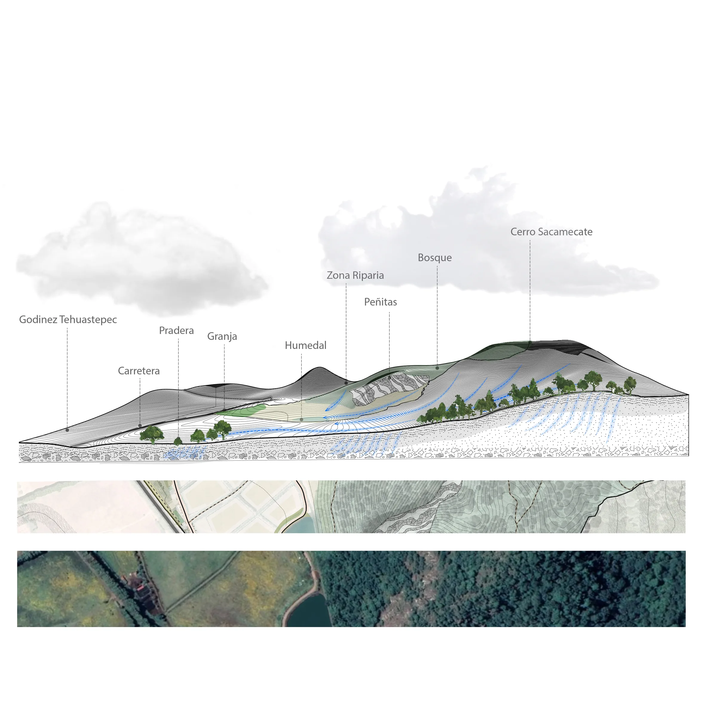
One approach to visualize these dynamics has been to study the region’s hydrological infrastructure. The Cutzamala System, completed in 1972, stores, purifies, and distributes potable water for the Metropolitan Area of Mexico City. A repurposed network of dams, the project harnessed the water storage capacity of the existing Miguel Aleman Hydroelectric System, built within the Valle de Bravo basin to supply electricity for the region’s industrialization in the 1930s.
The modernist logic behind this network of dams left little room for community engagement, as it required the expropriation of fertile flatlands. Forcibly bought-out, peasants left forests and agricultural land fallow. These were conserved and closely protected by the government to avoid erosion and pollution of water supplies. Simultaneously, evicted farmers and peasants relocated to nearby woodlands at the outer ring of the conservation areas, causing deforestation, or emigrated to the city as new laborers for industry, accelerating urban sprawl and land use changes of the 1960s and 70s.
In the last 20 years, this network of dams and adjacent forests, an easy drive 80 miles west of Mexico City, has driven high-end real estate development in the form of country clubs and weekend homes. This trend has spiked demand and inflated property values, increasing pressure on degraded agricultural land that was formerly forested. Previously conserved forests are being encroached, and essential services like sanitation are deficient. Development has again displaced peasants and rural poor to the periphery of large cities like Toluca or Mexico City in a feedback loop.
Applied research has made it possible to inform developers with a framework beyond commercial immediacy. Research findings and applications are conveyed through visual narratives that allow for clear communication of complex systems and encourage a multiscalar approach. These visual narratives explicate issues of equity and sustainability that provide an objective basis for more sustainable projects that consider watersheds, employment opportunities for locals, and a collaborative approach to decision-making and construction.
/valle__2026-01-30_17_39_43-R28_DD_251218_mejorcalidad.pdf_-_Adobe_Acrobat_(64-bit)_w960.webp)
/valle__FOTO_AEREA_(1)_w960.webp)